
Exploring the White Mountain Trail System Near Pinetop-Lakeside, AZ
Who is this for?
- This article is for RV travelers, hikers, mountain bikers, horseback riders, families, and outdoor enthusiasts planning a trip to Pinetop-Lakeside, Arizona.
Table of Contents
- Why Explore the White Mountain Trail System?
- Choosing the Right Trail
- Easy and Family-Friendly Trails
- Moderate Trails for a Longer Adventure
- Challenging Trails for Experienced Visitors
- Mountain Biking and Trail Etiquette
- What to Bring
- Maps, Markers, and Conditions
- When to Visit
- More Things to Do in Pinetop, AZ
- Stay Near the Trails at Paradise RV
Arizona is known for desert views, but the area around Pinetop looks very different. Here, visitors find tall ponderosa pines, cool mountain air, lakes, wildlife, and miles of trails.
One of the best ways to enjoy the area is to explore the White Mountain Trail System. This large network includes more than 200 miles of trails in and around Pinetop-Lakeside and Show Low. The trails are used by hikers, mountain bikers, horseback riders, runners, bird-watchers, and nature lovers.
Some routes are short and easy. Others are longer, steeper, and better for experienced visitors. Whether you want a relaxed forest walk or a full day outside, the trail system gives you plenty of choices.
Why Explore the White Mountain Trail System?
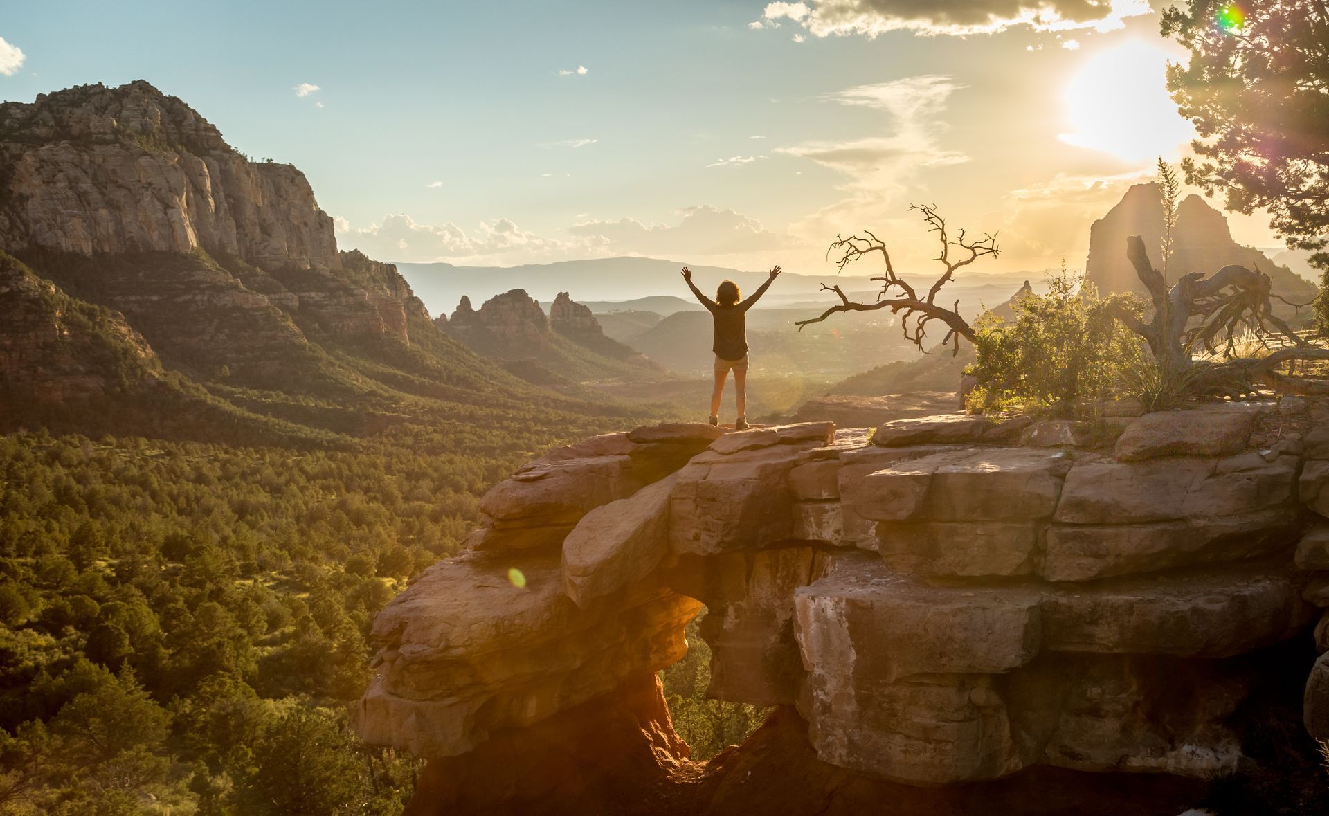
The White Mountain Trail System is a group of connected loops and paths spread across the region. The system passes through ponderosa pine forests, open meadows, rocky hills, and quiet areas where you‘ll see elk, deer, wild turkeys, and a variety of birds.
Visitors enjoy the trails because they offer:
- Short walks for families and beginners
- Longer routes for experienced hikers
- Mountain biking trails
- Horseback riding routes
- Forest views and wildlife
- Easy access from Pinetop-Lakeside
- Several trail lengths and difficulty levels
Many trails are located between about 6,000 and 9,000 feet above sea level. The higher elevation means cooler weather than lower parts of Arizona. It can also make hiking feel harder, especially for visitors who are not used to mountain air. Take your time, drink water, and choose a trail that fits your group.
Choosing the Right Trail
Before you head out, look at more than the trail distance. A short trail can still be difficult if it includes steep climbs, loose rocks, or uneven ground.
Think about these questions:
- How much time do you have?
- How active is your group?
- Are you hiking, biking, or riding horses?
- Are young children coming?
- Are you used to higher elevations?
- Has it rained or snowed recently?
- Do you have a map?
The same trail may have different difficulty ratings for hikers and mountain bikers. A route that feels moderate on foot may be much harder on a bike. Check the correct rating for your activity before you leave.

Easy and Family-Friendly Trails
Visitors do not need to spend all day hiking to enjoy the forest. Several trails offer shorter distances and easier ground.
Springs Trail
Springs Trail is about 3.6 miles long. It’s rated easy for hiking and moderate for mountain biking. This trail can work well for visitors who want a pleasant morning or afternoon walk without planning a full-day trip.
Show Low Bluff Trail
Show Low Bluff Trail is about 1.75 miles long. It’s rated easy for both hiking and mountain biking. Because it’s short, it may be a good choice for beginners, families, or visitors who want to fit a quick outdoor activity into a busy day.
Woodland Lake Park
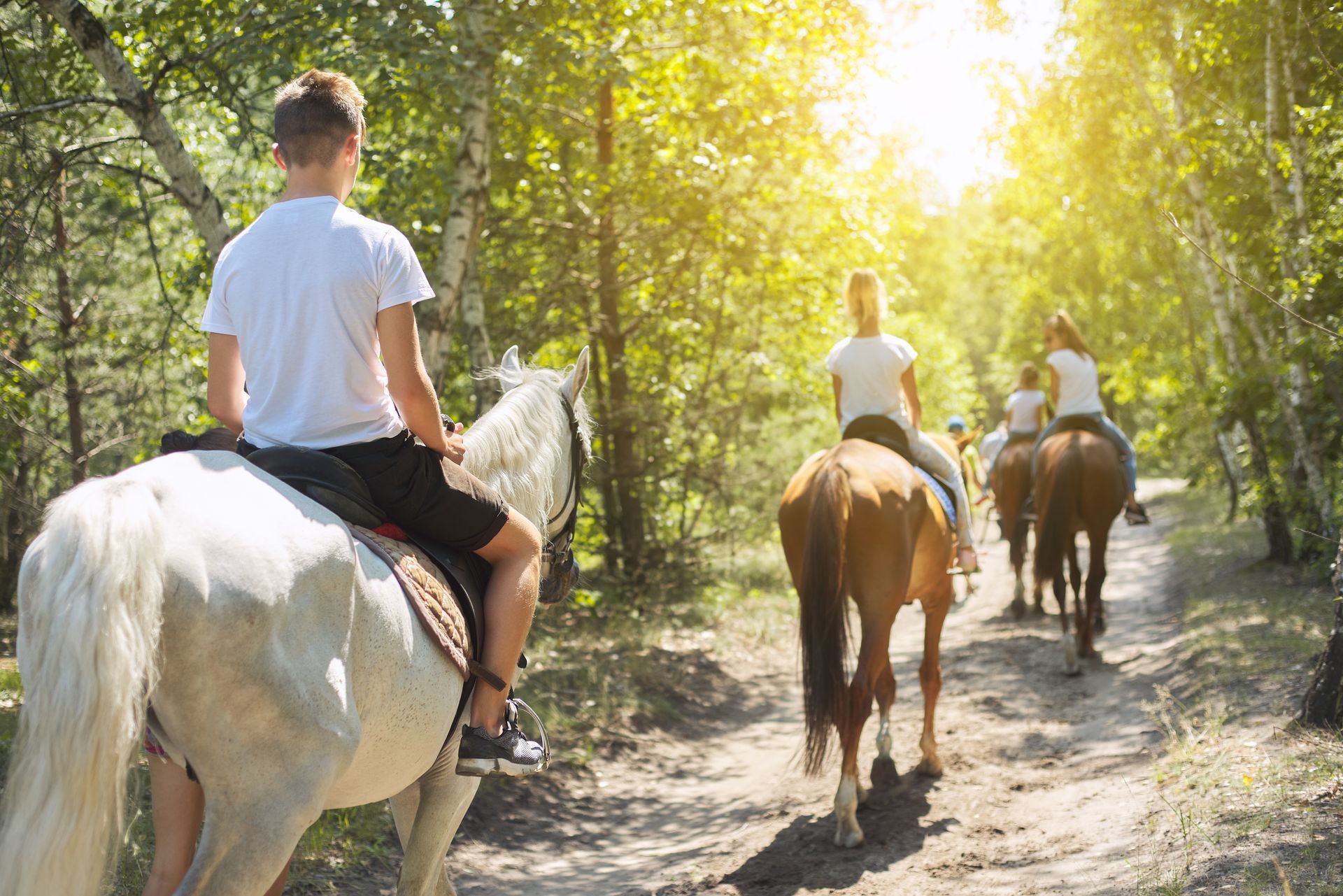
Woodland Lake Park includes several connected trails with different lengths. Many are rated easy for hikers, cyclists, and horseback riders. The connected paths allow visitors to choose how far they want to go. You can take a short walk, add another loop, or turn back when your group is ready. The area is also close to town, which makes it convenient for families and first-time visitors.
Moderate Trails for a Longer Adventure
Some of the best hikes in the White Mountains are moderate routes. These trails offer more distance and challenge without requiring the full effort of the hardest routes.
Timber Mesa Trail
Timber Mesa Trail is about 7.5 miles long. It’s rated moderate for hikers and difficult for mountain bikers. The distance makes it a good half-day outing for many visitors. Bring enough water, snacks, sun protection, and a map.
Panorama Trail
Panorama Trail is about 9.5 miles long. It’s rated moderate for hiking, biking, and horseback riding. This route is a good option for visitors who want to spend several hours in the forest. It also connects with other trails, so experienced users may be able to create a longer route.
Blue Ridge Trail
Blue Ridge Trail is about 9.4 miles long. It’s rated moderate for hikers and difficult for mountain bikers. The trail connects with other routes, including Ice Cave and Lumberjack. These connections give visitors more ways to plan their day.
Juniper Ridge Trail
Juniper Ridge Trail is more than 12 miles long. It’s rated moderate for hikers and difficult for mountain bikers. Even though the hiking rating is moderate, the length makes this a serious outing. Start early and carry more water and food than you would for a short hike.
Challenging Trails for Experienced Visitors
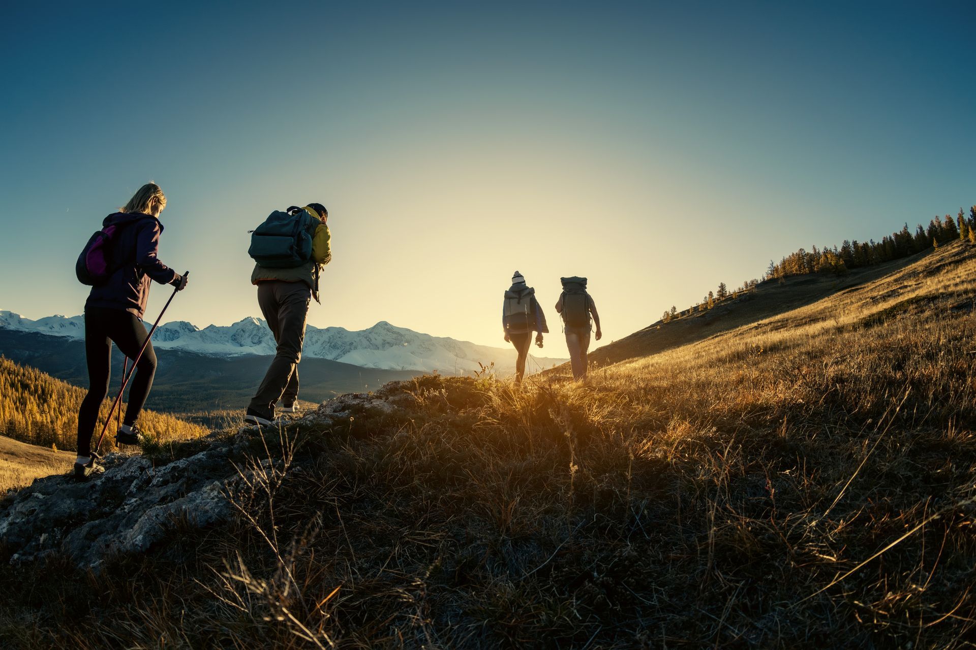
The White Mountain Trail System also includes long and difficult routes for experienced hikers, mountain bikers, and horseback riders.
Los Caballos Trail
Los Caballos is about 15.5 miles long. It’s rated difficult for hiking, mountain biking, and horseback riding. This is a full-day route for many visitors. It requires careful planning, strong fitness, enough water, food, and reliable navigation
Four Springs Trail
Four Springs Trail is about 8.3 miles long. It’s also rated difficult for all three main activities. The trail may be shorter than Los Caballos, but its terrain and climbing can still make it demanding.
Connector Trails
Some connector trails, including Chihuahua Pine and Lookout, are also rated difficult. Remember that a connector may only be one part of your route. Add up the full distance before you begin so you know how far you will need to travel. Do not depend only on cell service. Download a map or take a clear photo of one before leaving the trailhead.

Mountain Biking and Trail Etiquette
Mountain biking is a popular activity across the White Mountains. The trail system includes easy rides, rolling forest paths, rocky sections, and technical routes. Riders should check trail ratings before starting and make sure their bike is in good condition. Because these are shared trails, everyone needs to pay attention and be polite.
Basic trail rules include:
- Cyclists should slow down near hikers and horses.
- Hikers and bikers should give horses plenty of room.
- Speak calmly when passing other visitors.
- Stay on marked trails.
- Do not leave trash behind.
- Keep pets under control.
- Give wildlife space.
- Avoid muddy trails.
When horses approach, stop and move to the lower side of the trail when possible. Speak calmly so the rider and horse know you are there. Using muddy trails can cause deep ruts and damage. After heavy rain or snow, choose another activity until the ground dries.
What to Bring
Mountain weather can change quickly. A warm and sunny morning may turn cool, windy, or rainy later in the day. Bring basic supplies even for shorter hikes.
Your trail bag should include:
- Plenty of water
- Snacks
- Sunscreen
- A hat
- Supportive shoes
- A light jacket or rain layer
- A trail map
- A charged phone
- A small first-aid kit
- Pet waste bags if you bring a dog
For longer trips, consider adding a headlamp, extra food, a portable charger, an emergency blanket, and basic repair supplies. Visitors from lower elevations should begin slowly. Rest when needed and watch for signs of altitude problems, including headache, dizziness, nausea, or unusual tiredness.

Maps, Markers, and Conditions
Trail maps and GPX files are available through White Mountains TRACKS. Printed maps may also be available at visitor centers, ranger offices, and trailhead kiosks. Trails are often marked with white diamond signs. Some routes include location codes that can help visitors describe where they are during an emergency.
Colored trail markers may also provide help:
- Yellow can show a shorter route back toward a trailhead.
- Green can mark a connector trail.
- Red can identify a vista trail.
Some routes cross old roads or logging paths. Watch the signs carefully instead of simply following the widest trail. Road and trail conditions can change because of rain, snow, fire danger, or forest work. Check current conditions before every outing.
The Apache-Sitgreaves National Forest may also post fire restrictions, road closures, or safety notices.
Reviewing these updates can save you from a long drive to a closed trailhead.
When to Visit
Pinetop-Lakeside offers outdoor recreation in every season. Summer is popular because the higher elevation brings cooler temperatures than much of Arizona. Morning hikes are often the most comfortable. Fall can bring cool air and changing aspen leaves. It’s a beautiful time to visit, but mornings and evenings may be cold.
Spring conditions can vary. Snow may still cover higher trails, and melting snow can create mud. Winter visitors may find opportunities for snowshoeing and cross-country skiing when conditions are right. Some roads and trailheads may be hard to reach during snowy weather.
No matter when you visit, check the forecast and trail conditions before leaving.
Stay Near the Trails at Paradise RV
After a day of hiking or biking, it helps to have a comfortable place to return to. Paradise RV & Mobile Home Community in Pinetop-Lakeside, AZ, gives visitors a convenient home base near trails, lakes, restaurants, shops, and other local attractions.
Staying close to outdoor recreation means less time driving and more time enjoying the area. Our RV Park allows you to plan several trail days, explore different parts of the region, and return to a familiar place each evening.
Choose trails that match your ability, carry the right supplies, and check conditions before you go. Then book your stay at Paradise RV & Mobile Home Community and enjoy the forests, trails, and mountain air of Pinetop-Lakeside.
Recent Posts